What Not to Miss at the Grand Canyon South Rim
The South Rim has dozens of named overlooks and you cannot stand at all of them. These are the ones that repay the walk, the shuttle ride, or the 25-mile drive, and the hour of day each one is at its best.
 Written with Daniel Begay, Southwest canyon-country tour guide & Navajo cultural specialist
Short answer
Start at Mather Point for the classic first look, walk the Rim Trail to Yavapai Point and its geology museum, ride Hermit Road to Hopi Point for sunset, and if you have a car, drive the Desert View road to the Watchtower. Stay behind the railings and never try to hike to the river and back in a day.
The first time you walk up to the South Rim, the canyon does not appear gradually. The trees stop, the ground ends, and a mile of empty air opens under your boots all at once. I have watched hundreds of first-timers hit that moment, and the ones who planned their viewpoints got a better version of it than the ones who wandered. The rim rewards a little strategy.
What are the must-see viewpoints on the South Rim?
Five stops cover the essentials: Mather Point for the arrival view, Yavapai Point and its geology museum for context, the Rim Trail connecting them, Hopi Point on Hermit Road for sunset, and the Desert View Watchtower at the east end for river views and the drive itself.
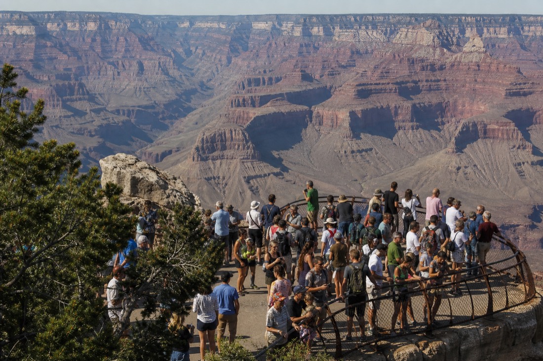
Every overlook shows you the same canyon, but not the same picture. Depth, river visibility, and light angle change stop by stop, which is why locals talk about viewpoints the way surfers talk about breaks. Here is the short list with the hour each one earns.
| Viewpoint | Where | Why it matters | Best time |
|---|---|---|---|
| Mather Point | Steps from the Visitor Center | The classic first view, widest easy panorama | Sunrise, or first arrival |
| Yavapai Point | Short Rim Trail walk west | Geology museum, glassed-in canyon views | Mid-morning |
| Hopi Point | Hermit Road shuttle | Big western sightlines, sunset favorite | Sunset |
| Desert View Watchtower | 25-mile drive east | Stone tower, wide river bends | Late afternoon |
| Rim Trail (any stretch) | Along the whole village rim | Paved, mostly level, endless framing | Any hour |
Where should you go first when you arrive?
Park at the Visitor Center and walk five minutes to Mather Point. It is the closest big view to the entrance, the railed overlooks handle crowds well, and it orients you: the village and Hermit Road lie west, the Desert View drive runs east, and the Rim Trail ties it all together.
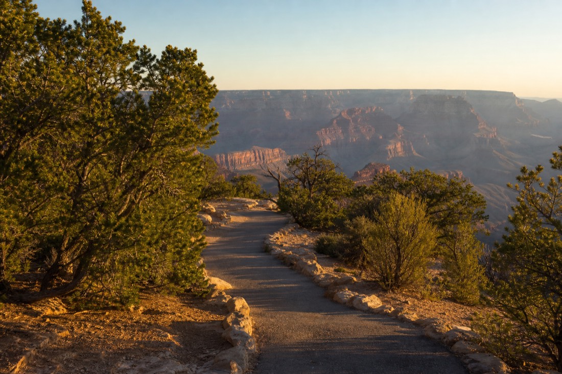
There is a case for skipping Mather because it is busy, and it is a bad case. The crowds are there because the view is that good, and the point has enough railing that thirty people do not ruin it. Take the first look, breathe, then walk west on the Rim Trail toward Yavapai instead of getting back in the car. Twenty minutes on foot along the edge does more for your sense of the canyon than three more parking lots.
Yavapai Point adds the layer most visitors miss: the small geology museum on its lip, with windows aimed straight into the gorge and displays that decode the rock you are looking at. The canyon's walls expose close to two billion years of Earth history, a story the park's geology pages tell well, and the view lands differently once you can name the layers. If you are deciding how much of a day all this deserves, the how many days guide breaks the rim into honest time blocks.
Where is the best sunset, and is sunrise better?
Hopi Point on Hermit Road is the South Rim's classic sunset stand, with long views west down the canyon. Sunrise is quieter and the light comes up behind you at Mather and Yavapai, painting the temples one by one. If you can only do one, sunset at Hopi is the crowd-pleaser.
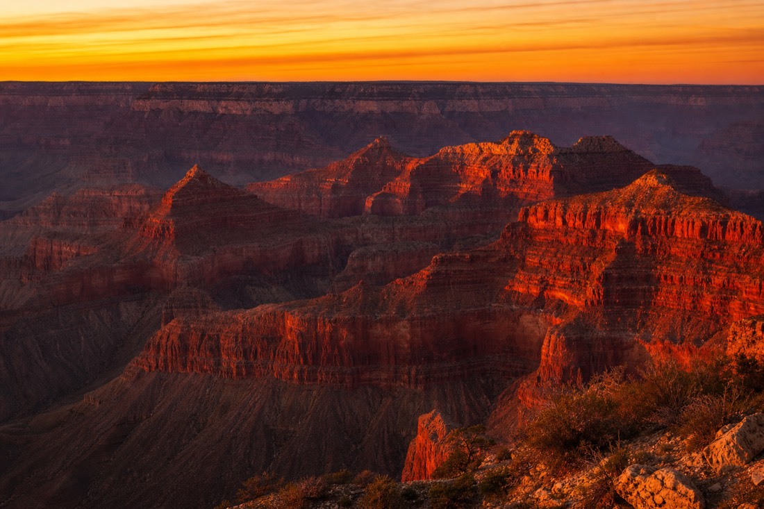
The sunrise-or-sunset argument never ends, so here is the honest trade.
| Sunrise | Sunset | |
|---|---|---|
| Crowds | Thin, quiet rim | Heavy at Hopi Point |
| Light | Cool, then gold hitting the temples | Warm wash, long purple shadows |
| Logistics | Early alarm, easy parking | Shuttle-dependent on Hermit Road |
| Best stands | Mather, Yavapai | Hopi Point, Mohave Point |
| Temperature | Coldest hour of the day | Pleasant most of the year |
For most of the year Hermit Road is closed to private cars, so sunset at Hopi means riding the free shuttle and, afterward, queueing in the dark with everyone who had the same idea. It is worth it. A separate guided sunset route can handle its own viewpoint transfers, but the safari linked here finishes at Grandview Point and does not replace the Hopi Point shuttle. The South Rim tour lineup includes evening runs built around exactly this hour, and you can check live availability and prices on Viator for the sunset safari. I argue the fuller sunrise case in the Mather Point sunrise or sunset post.
Is the Desert View drive worth the 25 miles?
Yes, if you have a car and two spare hours. The road east to Desert View passes a string of quieter overlooks where the Colorado River finally shows itself in wide bends, and it ends at the 1932 Watchtower, the best single structure on the rim. Late afternoon is its hour.
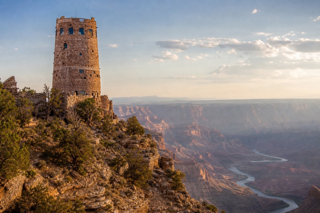
The village overlooks mostly hide the river; the canyon is simply too deep and stepped there. Drive east and the geometry changes. From Lipan Point and Desert View the Colorado swings into view in long green-brown curves, and you finally see the thing that carved everything you have been looking at. The Watchtower itself, Mary Colter's stone tower with murals inside, gives the east end a destination.
This drive is also the natural exit route if you are continuing toward Page or Monument Valley, my home ground, since the road leaves the park at the east entrance. Coming from the other direction, travelers arriving via Flagstaff or Sedona often enter here first; the Flagstaff route guide covers that approach.
How do you stay safe at the rim?
Stay behind the railings, keep children within arm's reach, and give the edge the respect a mile of air deserves. Do not attempt to hike to the river and back in one day, and remember the canyon gets hotter as you descend, the reverse of what mountain instincts expect.
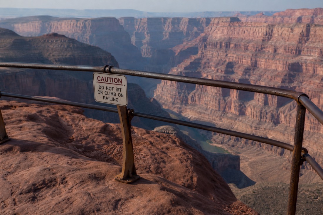
The National Park Service repeats the same warnings every season because people keep testing them. The rock at the edge is often loose, crumbly Kaibab limestone, and the photogenic ledges past the railings are where accidents happen. Below the rim, temperatures climb sharply as you descend, so the inner canyon can run 20 degrees hotter than the rim you left. Rim-to-river-and-back in a day hospitalizes fit hikers every summer, which is why rangers flatly advise against it.
None of this should scare you off the easy stuff. The Rim Trail is paved and level for miles, ranger programs run daily, and the park lists its guided options on the NPS guided tours page. A safe South Rim day is not a restricted one. Families with small children have their own set of trade-offs, and the kids guide walks through them stop by stop.
Is seeing the canyon from the air worth it?
For many visitors, yes. The rim shows you the canyon's face; a flight shows you its whole body, the plateau cracking open from horizon to horizon. The 40-minute airplane tour from Tusayan holds a 4.8 rating across about 1,554 GetYourGuide reviews and covers far more canyon than any overlook can.
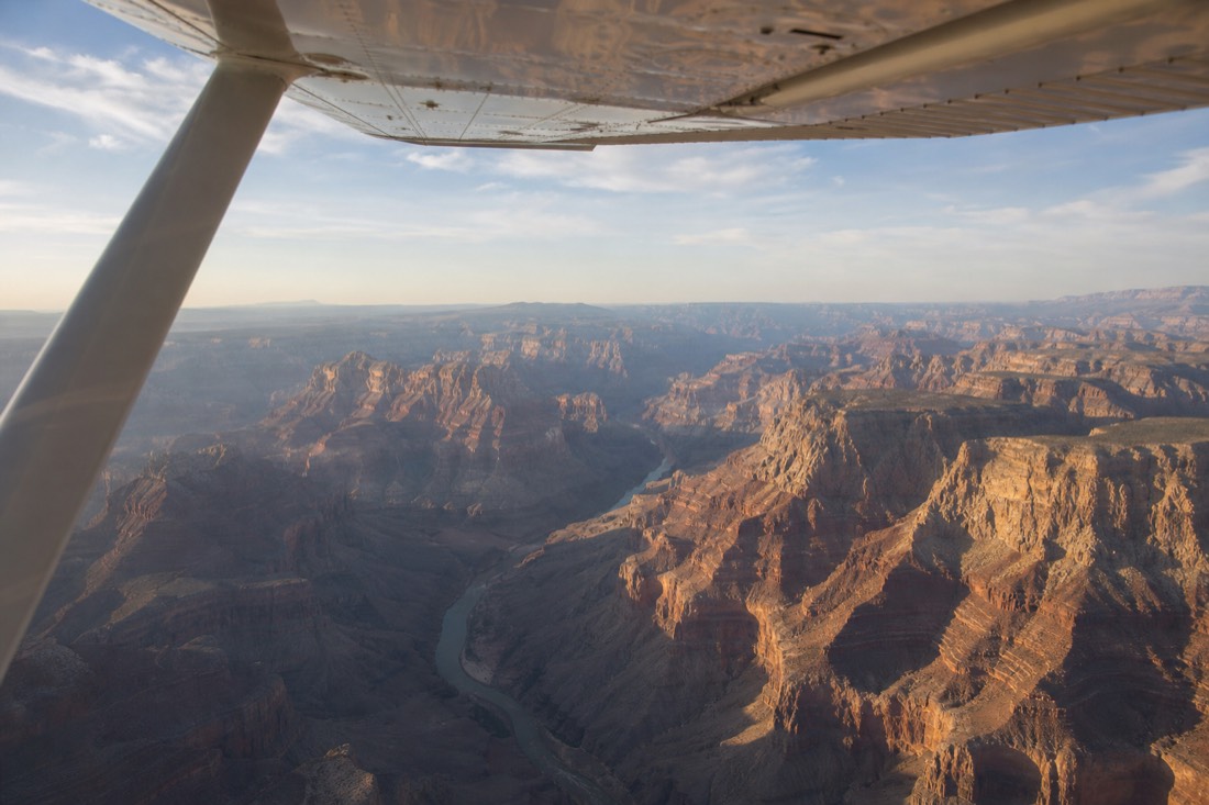
I am a ground person by trade, and even I will grant the air its argument. From the rim you see perhaps a tenth of the canyon on the best day. From a windowed aircraft out of Grand Canyon Airport, minutes from the south entrance, you watch the gorge run to the horizon in both directions, something no amount of walking delivers. Fixed-wing flights are the budget-friendlier, longer-ranging option, helicopters fly lower and slower with bigger glass, and the helicopter vs airplane guide plus the helicopter tour page sort out which fits. Book the flight for the day after your rim day if you can. Seeing it from the edge first makes the aerial version land harder.
Budget for the whole picture with a simple time plan.
| Time available | What fits |
|---|---|
| Half a day | Mather, Yavapai, a Rim Trail stretch |
| One full day | Add Hermit Road and Hopi Point sunset |
| A day and a half | Add the Desert View drive at leisure |
| Two days | Add a morning flight or a ranger program |
How do you move between viewpoints without a car?
The developed South Rim is built for feet and free shuttles. Hermit Road runs shuttle-only for most of the year, the Rim Trail links the village overlooks on foot, and Desert View Drive east to the Watchtower is the one stretch you are expected to drive yourself.
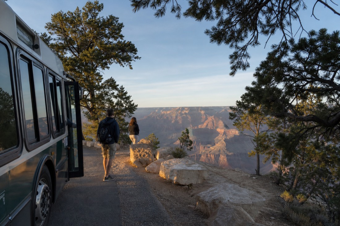
Most first-timers arrive planning to drive between overlooks and spend the day discovering they cannot. That is by design, and once you stop fighting it the rim gets easier. Park once, then move by shuttle and footpath.
The corridors below are the whole system. Allowances are what I would plan against rather than fixed timings, because a busy Saturday in July and a still Wednesday in February are not the same rim.
| Corridor | Private cars | How most visitors move | Allowance to plan |
|---|---|---|---|
| Visitor Center to Mather Point | Park once and walk | Five-minute paved walk from the plaza | 30 to 45 minutes |
| Grand Canyon Village | Open, but lots fill early | Walk between the lodges, the depot and the rim | An hour, more with lunch |
| Rim Trail, Mather to Yavapai | Not applicable | Walk, paved and mostly level | About 45 minutes at a stroll |
| Hermit Road, west toward Hopi Point | Closed to private cars most of the year | Free shuttle, hop on and off | Two hours minimum, half a day if you stop properly |
| Desert View Drive, east to the Watchtower | Open to private cars | Drive, stopping at the overlooks | About two hours round trip at leisure |
The one bottleneck that catches people is the return from a Hermit Road sunset, when everyone who watched the same sky queues for the same buses in the dark. Build that queue into your evening rather than being surprised by it.
How accessible is the rim for wheelchairs, strollers and slower walkers?
More accessible than the canyon's reputation suggests. The Rim Trail is paved and mostly level through the village stretches, the free shuttles serve the main viewpoints, and Mather Point is a short paved walk from the visitor center. The steep inner-canyon trails are the genuinely off-limits part.
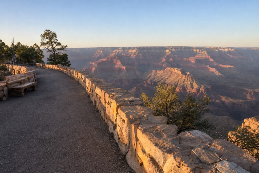
The canyon reads as a hiker's place in photographs, and that puts off people who could see almost everything worth seeing without leaving pavement. The classic views at Mather and Yavapai are drive-and-walk propositions. The Desert View overlooks are drive-up. The Rim Trail does the connecting.
| Feature | How it works for limited mobility |
|---|---|
| Rim Trail, village stretches | Paved and mostly level, with benches and shade in places |
| Mather Point | Short paved walk from the visitor center plaza, railed overlooks |
| Yavapai Point and Geology Museum | Reachable on the Rim Trail or by shuttle; the museum is indoors with glassed canyon views |
| Hermit Road viewpoints | Shuttle-served most of the year, so no driving or parking involved |
| Desert View Drive overlooks | Park and take short walks from each pullout |
| Inner-canyon trails | Steep and unpaved; the NPS advises against rim-to-river day hikes for anyone |
| Hopi Point at sunset | The shuttle queue in the dark is the real barrier, not the terrain |
Slower walkers and older travellers often get a better rim day than the people racing them, because the canyon does not reward speed. It rewards standing still. Trips built around that pace are worth planning deliberately, and the seniors guide goes through the practical version.
What should you actually carry to the rim?
Layers first, because the rim sits near 7,000 feet and the sunrise hour is the coldest of the day. Then more water than feels necessary, sun protection, and a rain shell from July into September. Winter visits add traction for icy paths, and any sunset visit adds a light for the walk back.
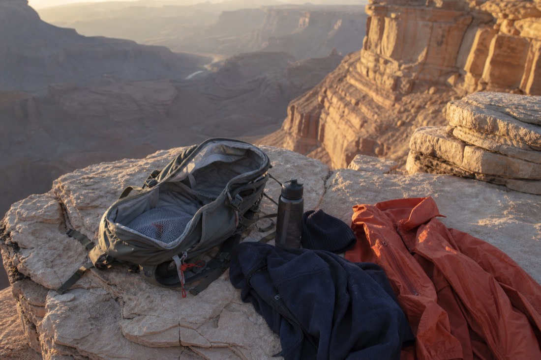
This is a short list because the rim asks for very little. What it does ask for, it asks for firmly, and the gap between a good day and a cold, thirsty, squinting one is about four items.
| Item | Why it matters here | When it earns its space |
|---|---|---|
| Real layers, including a jacket | The rim stands near 7,000 feet and dawn is the coldest hour | Year-round, above all at sunrise |
| More water than you think | Dry high-desert air pulls moisture faster than you notice | Year-round |
| Sun protection | Thin air, open sky, very little shade at the overlooks | Year-round, worst in summer |
| Rain shell | Monsoon storms build July into September, usually in the afternoon | July to September |
| Traction for your shoes | Snow and ice reach the rim roads and trails in winter | November to March |
| A headlamp or phone light | Sunset crowds walk back to the shuttle in real darkness | Any sunset visit |
| A card for the gate | $35 per vehicle, or $20 per person on foot | Any visit without a pass or included entry |
Note what is not on the list. You do not need hiking boots to walk the Rim Trail, and you do not need a long lens to get a good photograph of something eighteen miles wide.
What do the monsoon and the altitude do to a rim day?
Monsoon storms build from July into September, usually through the afternoon, bringing lightning to an exposed edge and reshuffling flights. Altitude does quieter damage: dry air, faster dehydration, and a first day that feels heavier than the walking justifies.
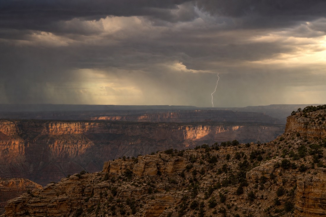
Daniel Begay guides across the Colorado Plateau and treats both as ordinary planning inputs rather than drama. "Monsoon afternoons are the best photography of the year and the worst time to be standing on a point with a metal railing. Those storms are not subtle. You can watch one build for an hour. That hour is your warning, so use it."
His rule is to front-load a monsoon-season day. "Do your rim in the morning. Take the drive east after lunch, because you are in the car for most of it anyway. If a flight is on the plan, take the earliest one you can get, because afternoons are where the reshuffles happen."
On altitude he is blunter. "Nobody thinks of the Grand Canyon as high country and it is. People fly into a desert city, drive up several thousand feet, walk around in dry air all day and then blame the heat. Drink on the way up, not when you arrive."
One inversion trips up hikers with mountain instincts. Below the rim it gets hotter as you descend, the reverse of every mountain they have walked. A summer afternoon that is pleasant at the railing can be severe a thousand feet down, which is a large part of why the NPS advises against rim-to-river-and-back day hikes and why falls remain the leading cause of visitor deaths. Both warnings exist because people keep testing them.
What do people actually ask standing at the railing?
The same seven questions, most of them about the canyon's scale. No, most of it is not closed. Yes, the river is hard to see from the village. No, you cannot walk to the bottom and back today. And no, you do not need a timed-entry reservation to be here.
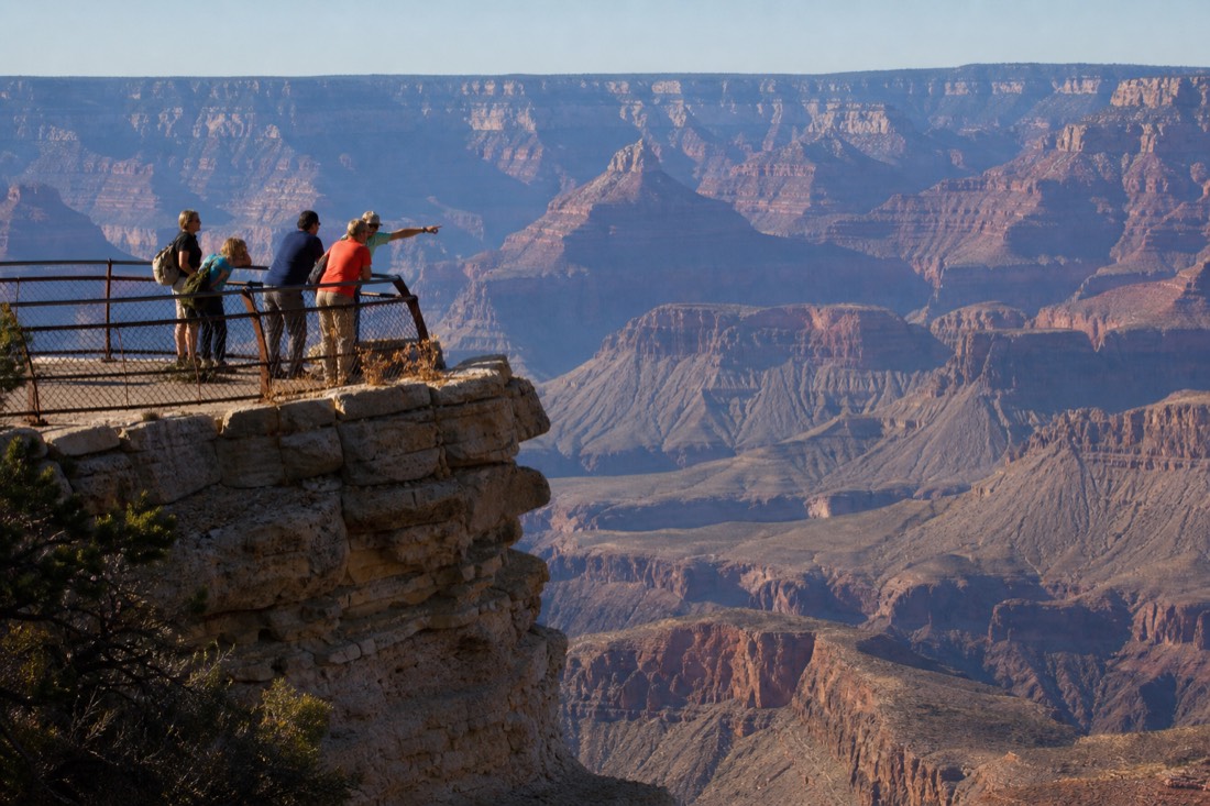
The "90 percent closed" line circulates every year and lands with people who then wonder what they are allowed to see. It refers to roadless wilderness, permit-only backcountry and neighbouring tribal lands, none of which were ever open to walk-up visitors. The developed corridors, meaning everything in this guide, stay open. I unpack the whole claim in the 90 percent closed post.
| What people ask at the railing | The short answer |
|---|---|
| Is 90 percent of the canyon closed? | No. That framing counts roadless wilderness, permit-only backcountry and tribal land |
| Can I see the Colorado from here? | Rarely from the village overlooks, often from the east drive |
| Can I walk to the bottom and back today? | No. The NPS advises against it and it hospitalises fit hikers every summer |
| Do helicopters land down there? | Not in the national park. Only on Hualapai land at the West Rim |
| Is the North Rim open? | Select areas open; confirm current access on nps.gov |
| Do I need a timed-entry reservation? | No, not for day visitors in 2026 |
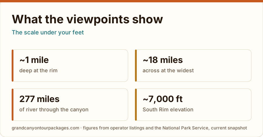
| How big is this, really? | About a mile deep, up to 18 miles across, running 277 river miles |
What do I tell people who only get one sunrise?
Pick one overlook and stay at it. The instinct is to chase the light between three viewpoints and the result is that you photograph the drive. Arrive in the dark, claim a spot at Mather or Yavapai, and let the canyon fill in around you.
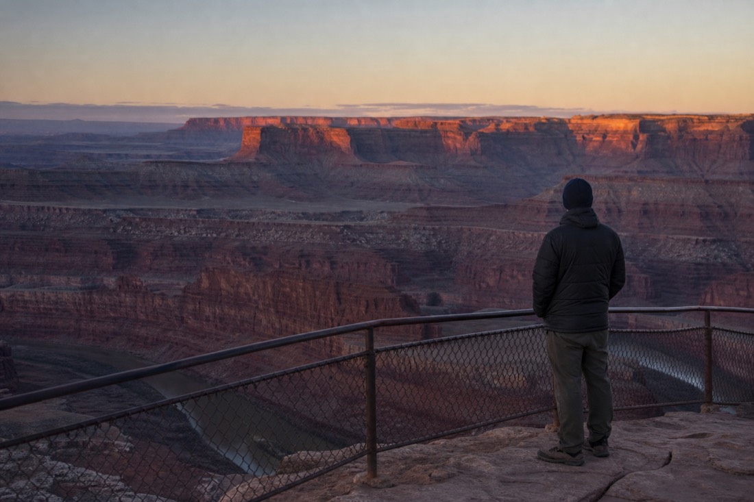
Daniel Begay has watched a lot of first light on this plateau. "The good part starts before the sun does. Twenty minutes before sunrise the canyon goes blue and the temples separate out of the dark one at a time. People show up at the posted sunrise time and miss the half of it that nobody photographs."
He is firm about the cold. "It is the coldest hour of the day, every day, all year. Bring the jacket you think is too much. The people who leave after ten minutes are not bored, they are freezing, and they drove an hour to be freezing."
The other piece of his advice is about crowds, and it runs against expectation. Sunrise at the South Rim is the quiet end of the day, which means the classic overlooks near the visitor center behave well at dawn even when they are heaving at noon. There is no need for a secret spot. Mather Point at 5am is a different place from Mather Point at 11am, with the same view.
Then stay a while afterward. The half hour after sunrise, when the light warms and everyone else goes for breakfast, is the emptiest the rim gets all day. It is also, by his count and mine, when the canyon looks most like itself.
Can you drive to Hopi Point?
Most of the year, no. Hermit Road is shuttle-only except in the depths of winter. Ride the free red-line shuttle from the village, or join an evening tour vehicle that is permitted on the road.
Which viewpoint shows the Colorado River best?
Lipan Point and Desert View on the east drive. The village overlooks mostly hide the river behind the canyon's inner steps.
How long is the Rim Trail?
About 13 miles end to end, but nobody walks it all. Pick any stretch between shuttle stops; the section from Mather Point to Yavapai is the classic starter.
Make the day fit your trip
Check your date before arranging the rest
Initial editorial suggestion. Use the optional choices to narrow this article’s shortlist; confirm individual eligibility with the operator.
South Rim sunset safari
An off-road forest approach and South Rim viewpoints, finishing at Grandview Point at sunset.
Meet at 408 AZ-64 in Tusayan; English guide and water included. No hotel pickup. Nonresident park charges and tips extra. Bumpy vehicle; not recommended during pregnancy or for spinal or cardiovascular conditions. Minimum booking: two guests.
Compare options and tailor this choice
Why choose an alternative?
South Rim sunset safari · Tusayan · 3 hours to allow
An off-road forest approach and South Rim viewpoints, finishing at Grandview Point at sunset. Meet at 408 AZ-64 in Tusayan; English guide and water included. No hotel pickup. Nonresident park charges and tips extra. Bumpy vehicle; not recommended during pregnancy or for spinal or cardiovascular conditions. Minimum booking: two guests.
South Rim airplane flight · Tusayan · 2 hours to allow
A 40-minute sightseeing flight over the canyon, with an optional Hummer tour sold separately. Own arrival at Tusayan airport; allow check-in time beyond the flight. English audio available. At 300 lb or more, an extra seat is required. Under-twos may ride on a lap with proof of age; confirm boarding needs directly.
Sedona or Flagstaff South Rim day trip · Sedona / Flagstaff · 11 hours to allow
A small-group day linking volcanic country, Cameron Trading Post and East and South Rim viewpoints. English guide and hotel return: about 11 hours from Sedona or 9 from Flagstaff. Hotel details required 72 hours ahead. Bring your own car/booster seat for children eight and under. Meals, tips and nonresident fees extra; moderate fitness required.
Compare your own quotes
Enter totals for the same party and inclusions, in one currency. Include transport, entry, meals and extras in both quotes.
Viator scheduled departures
Select a date to see the published schedule. Seats, final price and booking are confirmed on Viator.
Affiliate booking link: we may earn a commission at no extra cost to you.