Why Is 90% of the Grand Canyon 'Closed' to the Public?
Nothing at the Grand Canyon is secretly locked away. A Southwest guide explains where the viral 90% figure comes from and what visitors can actually reach.
 By Daniel Begay, Southwest canyon-country tour guide & Navajo cultural specialist
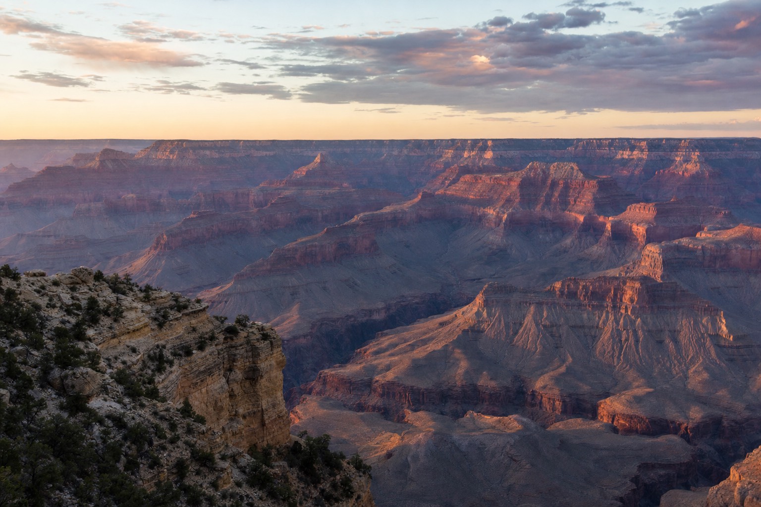
A video crossed my feed again last week: ominous music, red arrows on a map, and a claim that the government has "closed" 90 percent of the Grand Canyon and will not say why. I live on Navajo Nation land a few hours east of the park. I have driven every paved approach to that canyon in every season, and the boring truth is this: nobody locked a gate on 90 percent of anything. The canyon is simply enormous, and most of it never had a road to close.
Where does the "90% closed" claim come from?
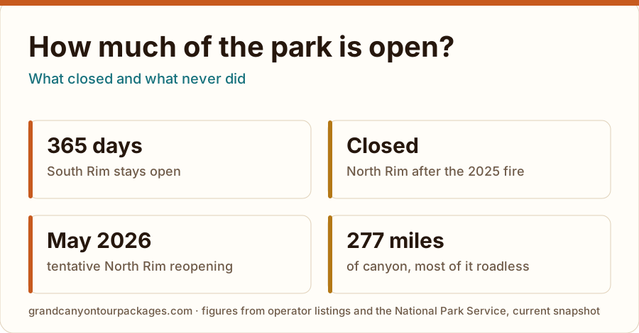
From a real ratio wearing a scary costume. The Grand Canyon runs 277 river miles, and nearly all of that length is roadless wilderness, permit-managed backcountry, or sovereign tribal land outside the park. The developed corridors where visitors actually stand are a sliver of the total acreage. Nothing was quietly shut; most of the canyon was never developed at all.
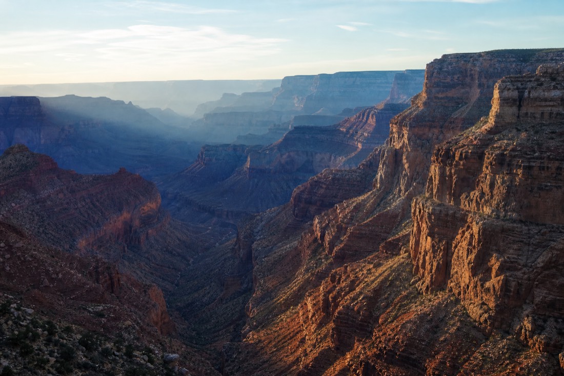
The math behind the viral clips is not wrong, it is just dressed up. The canyon is 277 river miles long, up to 18 miles wide, and about a mile deep, and the national park around it covers well over a million acres, numbers you can check in the Grand Canyon overview. Roads, lodges, and paved overlooks occupy a thin band along two rims. Everything else is cliff, side canyon, and river corridor that has looked this way since long before the park existed. Call that "closed" and you get clicks. Call it wilderness and you get an accurate map.
Here is what that acreage actually is, without the spooky soundtrack.
| What the land is | Who manages it | Can you go? |
|---|---|---|
| Developed rim corridors | National Park Service, Hualapai Tribe | Yes, drive or ride right up |
| Park backcountry | National Park Service | Yes; overnights need a permit |
| Colorado River corridor | National Park Service | Yes, on licensed river trips |
| Bordering tribal lands | Havasupai, Hualapai, Navajo | Yes, through each tribe's own system |
What parts of the Grand Canyon are actually open?
More than any single trip can use. The South Rim is open year-round, day and night, with no timed-entry reservation required. Grand Canyon West on Hualapai land runs the Skywalk as a separate destination. Select North Rim areas reopened on May 15, 2026. There is no in-park overnight lodging; the North Kaibab Trail is closed following August flooding. Check current NPS access before travel.
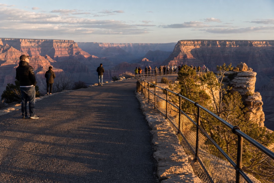
The South Rim carries most of the park's visits, and it is the version of the canyon on every postcard: the village, the historic buildings, and the long chain of viewpoints along the Desert View drive. Entry is $35 per vehicle or $20 per person, per the official NPS fee page. Grand Canyon West is a different destination on Hualapai tribal land, closest to Las Vegas, with its own admission, $67 general or $99 all-access per grandcanyonwest.com. The North Rim is the wild card this year; I wrote up what the Dragon Bravo Fire changed separately. Browse the South Rim tours and West Rim and Skywalk options to see how each side gets visited.
| Area | Run by | Season | Entry |
|---|---|---|---|
| South Rim | NPS | Year-round, 24 hours | $35/vehicle or $20/person |
| Grand Canyon West | Hualapai Tribe | Year-round | $67 general, $99 all-access |
| North Rim | NPS | Mid-May to mid-Oct normally | Select areas open; no in-park lodging |
| Havasupai (Havasu Falls) | Havasupai Tribe | Tribal reservation system | Advance reservation required |
What is a backcountry permit actually for?
Rationing, not secrecy. Day hikes below the rim need no permit at all; you can walk down the Bright Angel Trail this afternoon. Overnight trips do need one, because inner-canyon campsites are limited and summer heat down there is genuinely dangerous. The permit is a queue that protects the canyon and the people sleeping in it.
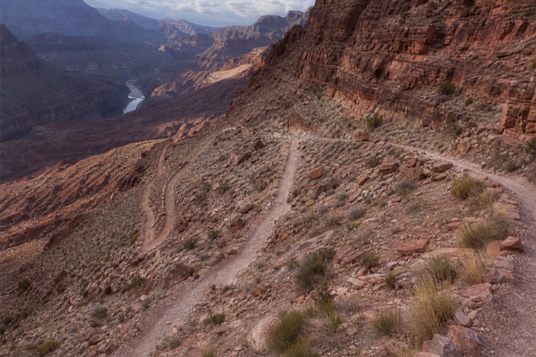
This is the part the mystery videos love, because "permit-only zone" sounds like a restricted facility. In practice it means the park limits how many people camp in a place where afternoon temperatures at the river can run brutally hotter than the rim, and where rangers strongly advise against hiking rim to river and back in one day. Anyone on earth can apply for a permit. Most people never do, because a mule-deer trail a mile below the rim is a hard-earned kind of open. The park also licenses guided trips into that same country; the NPS guided tour page lists how commercial services operate inside the park. Open does not mean easy. It never has out here.
How are the tribal lands different from the national park?
Three sovereign nations hold canyon country: the Havasupai deep in the western canyon, the Hualapai along the West Rim, and my own Navajo Nation to the east. Their land is not "closed America," it is someone's home, run under each tribe's own permits and admission. You can visit all three, just never on a federal park pass.
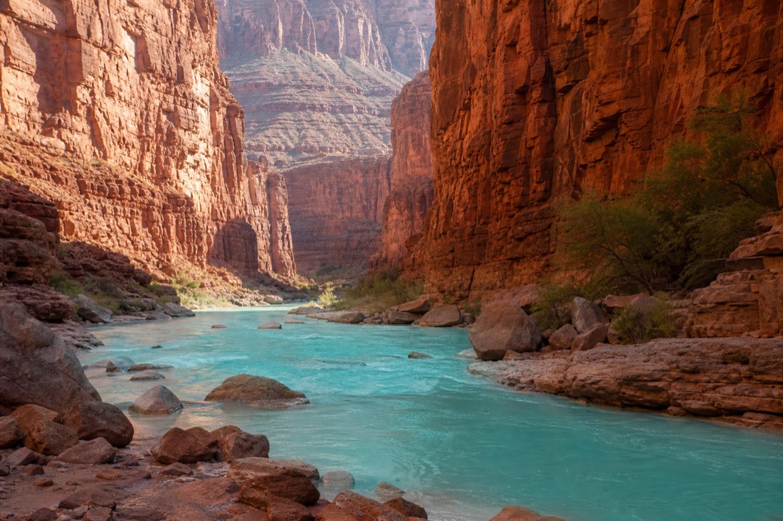
I am Diné, and I have spent my working life explaining this distinction at overlooks: a reservation boundary is not a park closure, it is a border. The Havasupai run their own reservation system for the famous waterfalls, and demand outstrips supply every year. The Hualapai built Grand Canyon West and the Skywalk as a tribal enterprise, which is why an NPS pass buys you nothing there; their own FAQ page spells that out. On the Navajo side, places like Antelope Canyon are visited with tribal guides or not at all. None of this is hidden. It is just governed by nations the viral maps do not bother to label.
| Tribal land | Where it sits | Known for | How you visit |
|---|---|---|---|
| Havasupai | Western canyon floor | Havasu Falls | Tribe's advance reservation system |
| Hualapai | West Rim | Skywalk, Grand Canyon West | Paid admission or a bus tour from Vegas |
| Navajo Nation | East of the park | Antelope Canyon, Monument Valley | Tribal permits and guided tours |
How much can a normal visitor realistically see?
One rim done well per day, and that is plenty. The South Rim corridor holds most of the classic views, and the West Rim packs the Skywalk into a Las Vegas day trip. A multi-day package layers in Antelope Canyon, Horseshoe Bend and quieter viewpoints, which is the closest most travelers ever get to the "other 90 percent."
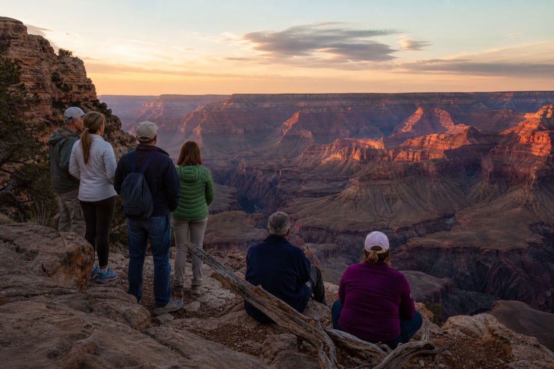
Do not let the acreage talk discourage you. The developed corridors exist precisely because they hold the best of it, and even locals like me keep going back to the same handful of rims at the same hours of light. If you have one day, pick a side; my shutdown explainer covers why the West Rim is the low-stress pick in uncertain seasons. If you have more time, stack days instead of miles. A multi-day Grand Canyon package strings the rim, the slot canyons and the river bends into one loop, and you can check live availability and prices on TourRadar for the small-group version. For sizing the trip, start with how many days you actually need.
| Your time | What you can realistically cover |
|---|---|
| Half a day | One stretch of South Rim viewpoints, or the Skywalk at Grand Canyon West |
| One full day | A whole rim: South Rim corridor, or a Vegas West Rim day trip |
| Two days | South Rim at both sunset and sunrise, plus the Desert View drive |
| Three-plus days | Multi-day loop: canyon rims, Antelope Canyon, Horseshoe Bend |
Is the Grand Canyon ever fully closed?
Not in any normal year. The South Rim stays open around the clock, all year, and Grand Canyon West operates on the Hualapai Tribe's own schedule regardless of what federal agencies do. Individual areas close for weather, fire, or safety, the way the North Rim did in 2025.
Do I need a tour to see the canyon at all?
No. You can drive to the South Rim, pay the entrance fee, and walk the rim on your own. Tours earn their keep on logistics: transport from Vegas or Phoenix, tribal-land access at the West Rim, and multi-day routing.
Does an America the Beautiful pass work at the Skywalk?
No. Grand Canyon West is on Hualapai tribal land, not in the national park, so federal passes do not apply there. It has its own admission.
Make the day fit your trip
Check your date before arranging the rest
Initial editorial suggestion. Use the optional choices to narrow this article’s shortlist; confirm individual eligibility with the operator.
South Rim airplane flight
A 40-minute sightseeing flight over the canyon, with an optional Hummer tour sold separately.
Own arrival at Tusayan airport; allow check-in time beyond the flight. English audio available. At 300 lb or more, an extra seat is required. Under-twos may ride on a lap with proof of age; confirm boarding needs directly.
Compare options and tailor this choice
Why choose an alternative?
South Rim airplane flight · Tusayan · 2 hours to allow
A 40-minute sightseeing flight over the canyon, with an optional Hummer tour sold separately. Own arrival at Tusayan airport; allow check-in time beyond the flight. English audio available. At 300 lb or more, an extra seat is required. Under-twos may ride on a lap with proof of age; confirm boarding needs directly.
Grand Canyon West All Access · Grand Canyon West · 7 hours to allow
Skywalk entry and the shuttle between Eagle Point and Guano Point in one self-arrival ticket. Drive yourself to Grand Canyon West. Includes zipline subject to weather and size restrictions; no Las Vegas transfer. Meal credit is $10 on a purchase of $20 or more. National park passes do not cover this ticket. This bookable listing starts at age three; confirm arrangements for younger children directly.
Sedona or Flagstaff South Rim day trip · Sedona / Flagstaff · 11 hours to allow
A small-group day linking volcanic country, Cameron Trading Post and East and South Rim viewpoints. English guide and hotel return: about 11 hours from Sedona or 9 from Flagstaff. Hotel details required 72 hours ahead. Bring your own car/booster seat for children eight and under. Meals, tips and nonresident fees extra; moderate fitness required.
Compare your own quotes
Enter totals for the same party and inclusions, in one currency. Include transport, entry, meals and extras in both quotes.
Viator scheduled departures
Select a date to see the published schedule. Seats, final price and booking are confirmed on Viator.
Affiliate booking link: we may earn a commission at no extra cost to you.